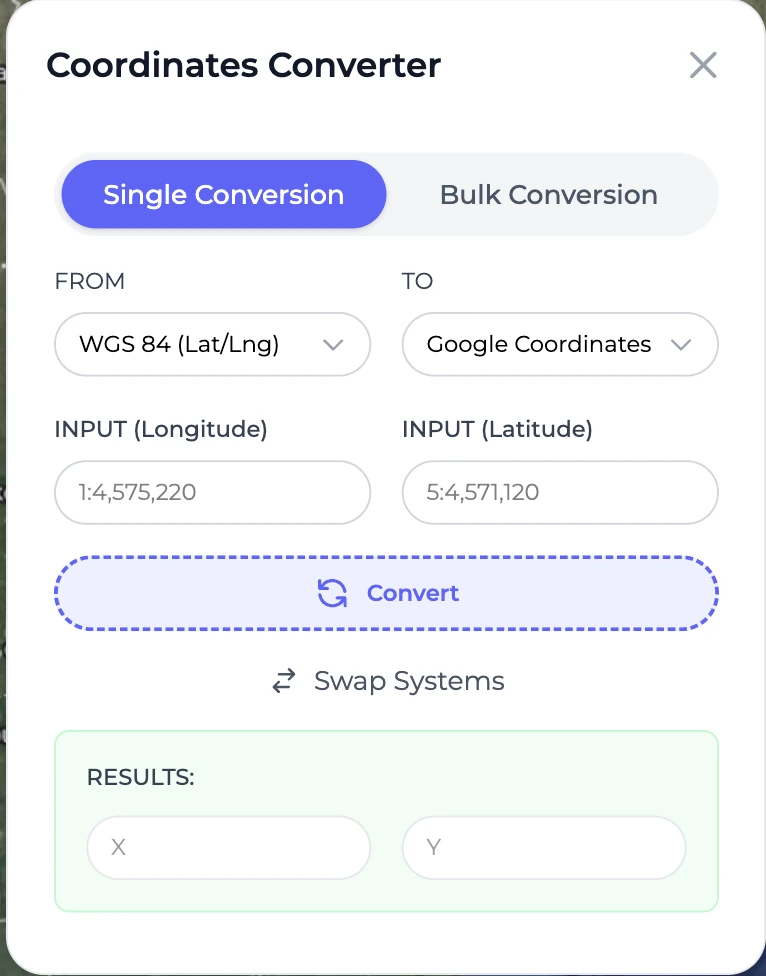
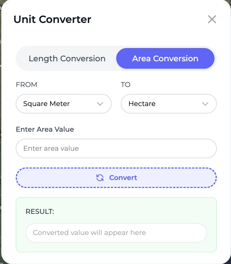
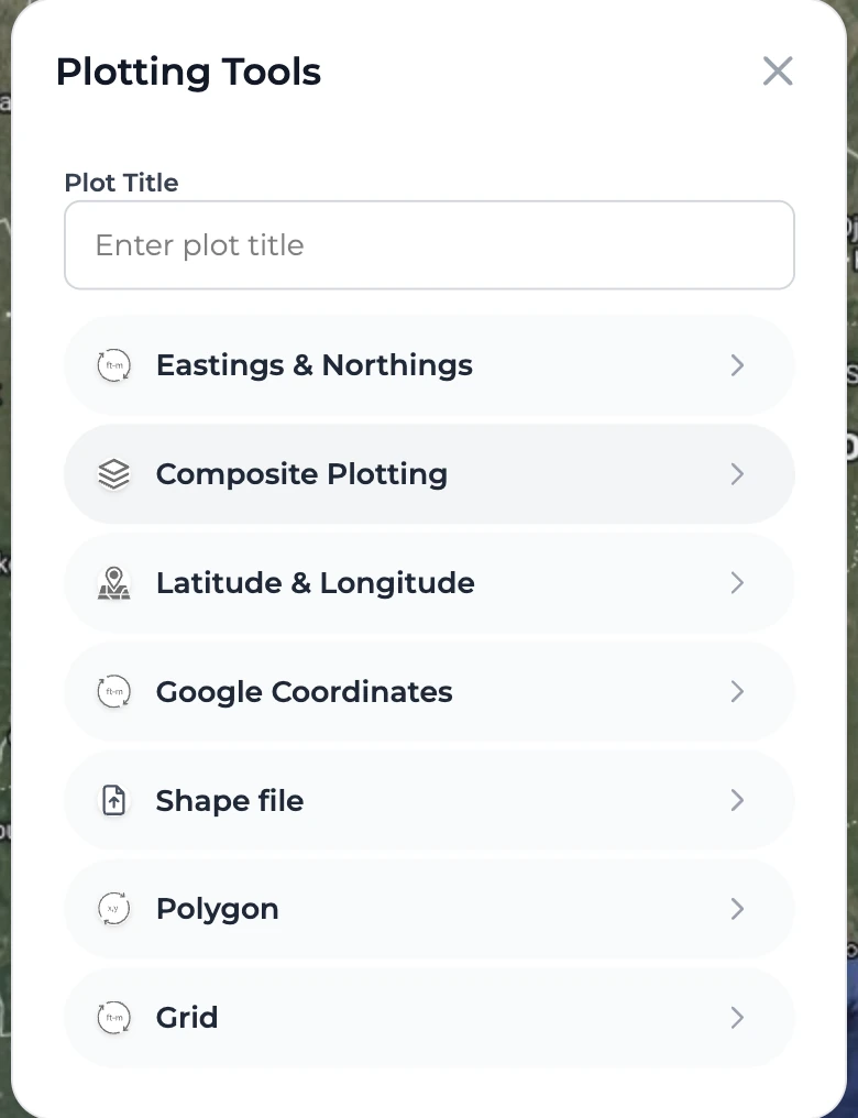
Enter or upload
Use Eastings and Northings, latitude and longitude, Google coordinates, Ghana Grid, polygons, or supported files.
Kapture turns coordinates and spatial files into clear map-based insights. Plot a parcel, inspect its surroundings, identify potential overlaps, and produce a map you can share.
Plot 6, Ashanti Region
Kapture keeps the core workflow simple while giving professionals the tools needed for deeper spatial checks.
Use Eastings and Northings, latitude and longitude, Google coordinates, Ghana Grid, polygons, or supported files.
Place the parcel on an interactive map, switch basemaps, turn on relevant layers, and inspect the visible boundary.
Review potential overlaps, surrounding development and nearby features, then save or print a visual map for discussion.
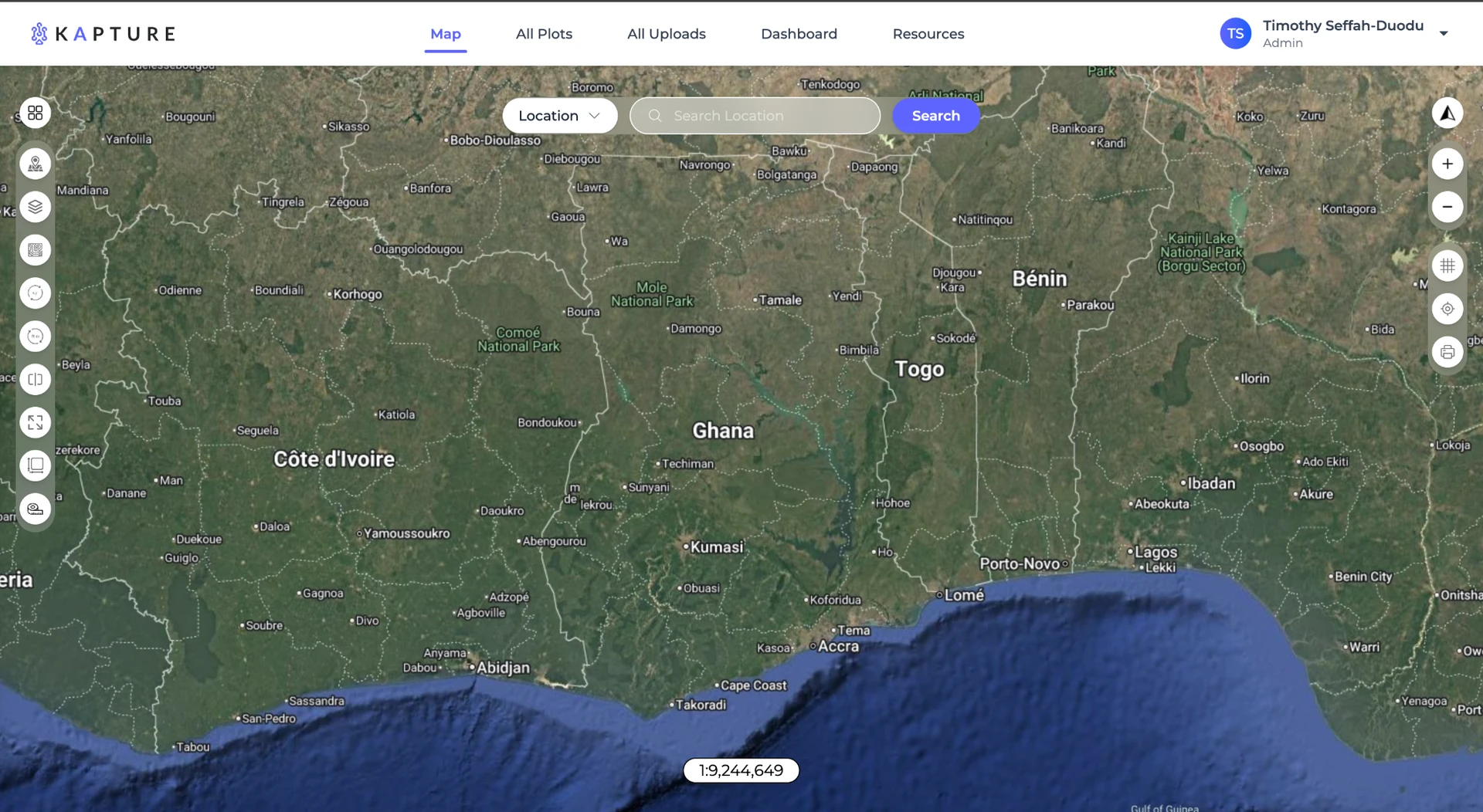
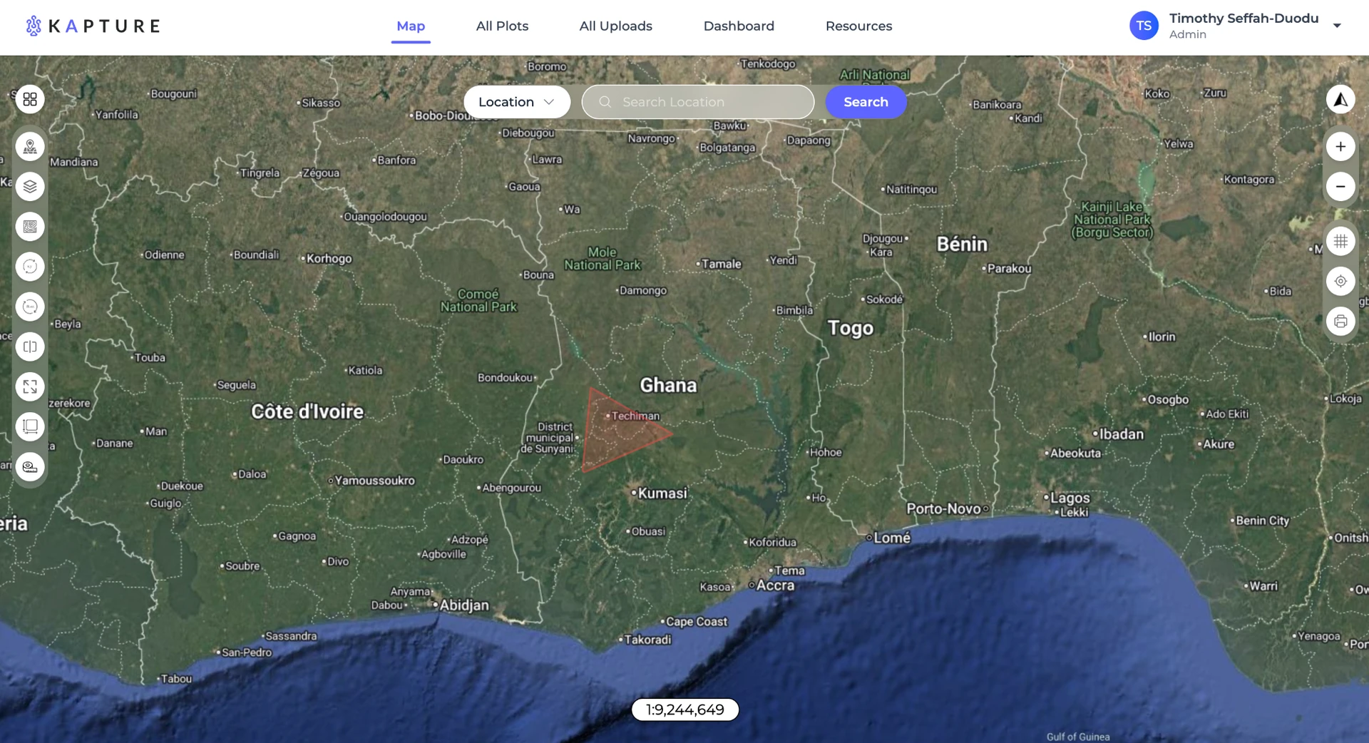
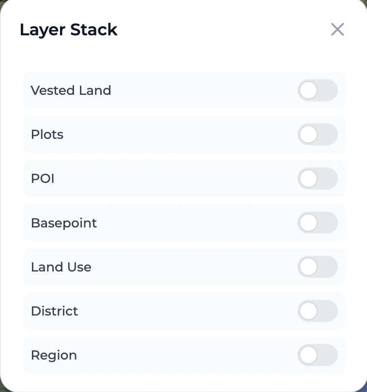
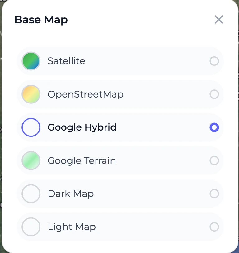
A plotted boundary becomes useful when you can understand what is around it. Kapture combines the parcel with satellite context, map layers, administrative areas, and points of interest.
Compare mapped geometry and highlight possible spatial conflicts for further verification.
Use satellite and terrain views to understand roads, buildings, access, and the character of the area.
View plots, land use, districts, regions, points of interest, basepoints and other available layers.
Kapture brings common spatial utilities and plot management into one consistent workspace.
Move between supported coordinate systems, length units and area units while preparing or checking a plot.
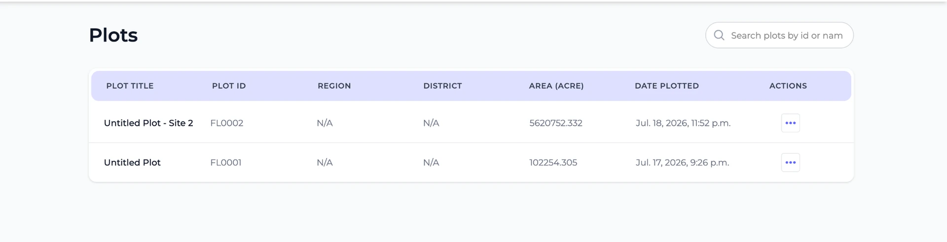
Save plots, review plot details, search records and return to previous spatial work when needed.
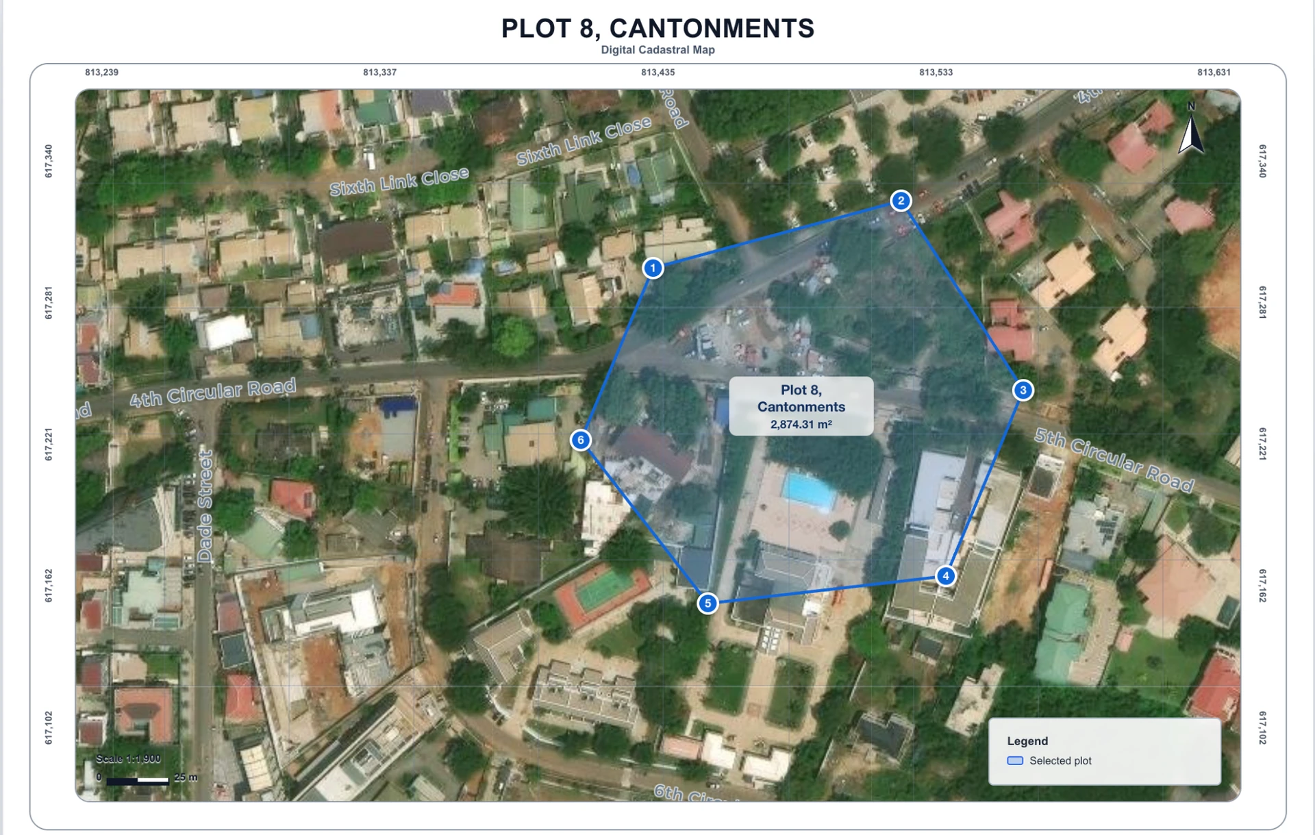
Produce a visual map with the selected parcel, numbered points, scale, orientation, coordinate references and surrounding imagery. Use it to explain a location or communicate a potential conflict more clearly.
Kapture outputs support visual reference and preliminary spatial assessment. Potential overlaps and printed maps should be independently verified before legal, surveying or property decisions.
All plans support map exploration, manual plotting, site-plan upload and AI coordinate extraction. One-time plans; no automatic renewal.
Try Kapture and save your first property.
More capacity for individual land workflows.
Higher capacity with company-branding options.
Create a free Kapture account and turn your coordinates into a plot you can inspect, manage and communicate.
Plotting, pricing, printing and Kapture help
Hi, I’m Kapture Assistant.
Ask me about Kapture services, plans, plotting a parcel, printing a map, or how to get support.
AI answers may need verification for legal, surveying or property decisions.